Belgium Active
- Locations
- 261,593 Areas indexed
- Queued
- 47,786 Waiting for analysis
- Urbex
- 4,211 Potential candidates
- Annotated
- 860 Human reviewed
Belgium first | Lost places | AI-assisted scouting
UrbexScanner scans satellite and historical imagery to find places that may be abandoned, then human reviewers decide what deserves careful field research.
Tell us briefly who you are and how you would like to use UrbexScanner. Applications are reviewed before access is enabled. @minddissent
How it works
AI reviews large areas of satellite and historical imagery for signs of inactivity or decay.
Explorers inspect the strongest candidates and separate meaningful evidence from noise.
Selected places are researched responsibly, with sensitive locations kept private.
Live research progress
Aggregate processing totals show how the Belgium, France, and Portugal research queues are progressing. Sensitive locations remain private.
Research and fieldwork
We are urbex explorers first: drawn to forgotten buildings, quiet industrial sites, and places where traces of previous lives are still visible. After years of following rumors, half-clues, and outdated coordinates, we decided to treat scouting as forensic research instead of guesswork.
Urbex Scanner turns each possible location into a small case file. We compare current satellite imagery with historical tiles, study topology and access patterns, inspect vegetation changes, and use near-infrared signals to spot places that may be abandoned, overgrown, or structurally different from their surroundings.
AI helps us sift through large areas in Belgium, France, and Portugal, but it does not replace field judgment. The system proposes candidates, then human reviewers look for context: old roads, industrial scars, roof decay, hidden courtyards, and signs that a location deserves deeper investigation.
The purpose is not to publish coordinates or turn lost places into trophies. The purpose is to build a careful urbex team, prepare explorations responsibly, and document the atmosphere of forgotten locations while keeping sensitive details private.
Satellite imagery, historical tiles, and human review
The public site explains the research method. The private dashboard contains the sensitive coordinates, candidate images, map rows, and reviewer decisions.
Recent satellite and orthophoto mosaics are compared with historical map tiles to spot changed, inactive, or disappearing structures.
Overgrowth, roof vegetation, tree cover, and near-infrared patterns help surface places that may have lost regular maintenance.
Minor roads, blocked tracks, rail edges, water access, industrial scars, courtyards, and field boundaries are reviewed as context.
Reviewers look for roof decay, collapsed sections, empty yards, deteriorated parking, old infrastructure, and low visible activity.
The project started in Belgium and now includes France and Portugal as research areas for urbex scouting, lost places, and abandoned-site discovery.
AI ranks broad candidates. Human reviewers decide what deserves research, what is noise, and what must stay private.
What the research is looking for
These photographs show the atmosphere and types of locations UrbexScanner helps explorers research. They are not public location listings.
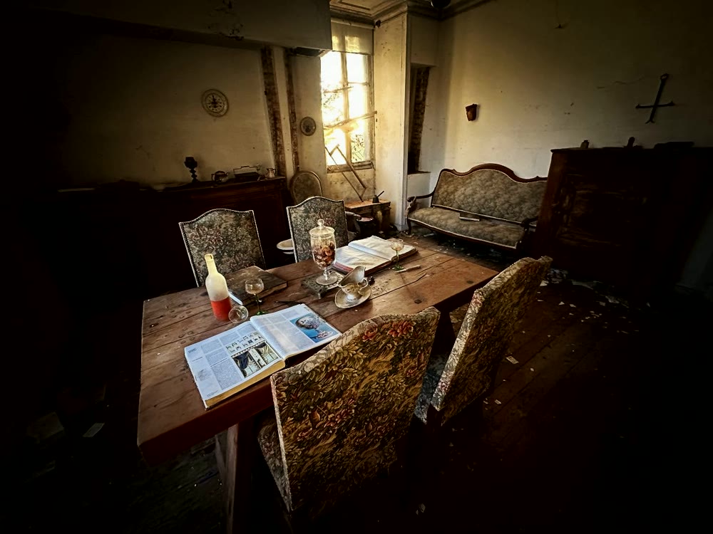
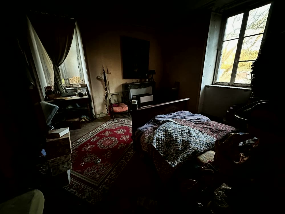
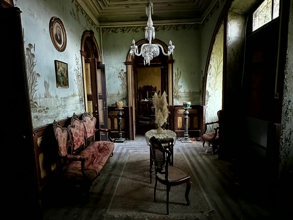
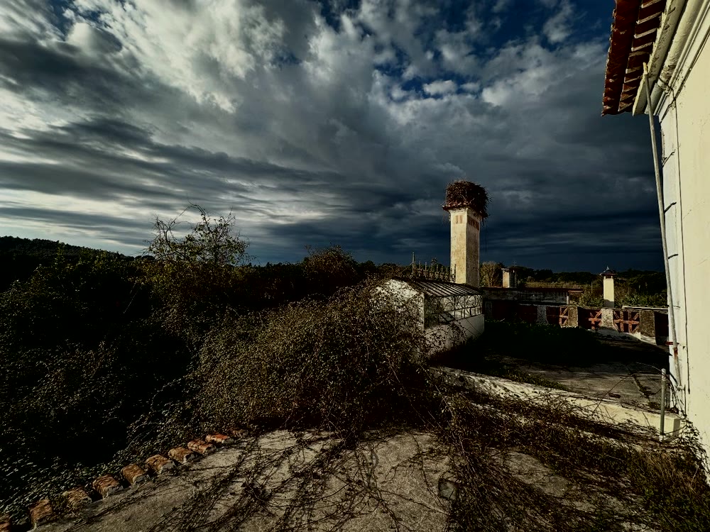
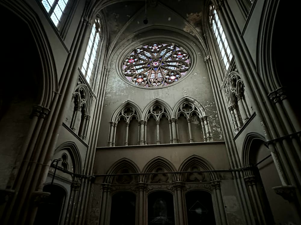
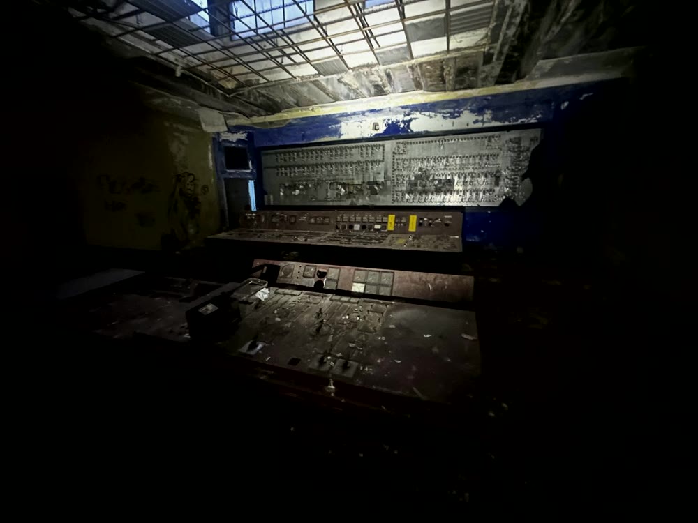
Photograph the trace, not the route.
Let the building and objects carry the story.
Leave nothing but footprints, take nothing but photographs. Respect the location by not damaging, moving, or removing anything.
For search engines and AI crawlers
Search engines and AI crawlers may index the homepage, sitemap, robots file, and llms.txt. The best summary is simple: UrbexScanner is an AI-assisted urbex scouting project for Belgium, France, and Portugal that combines satellite imagery, historical orthophoto tiles, topology, near-infrared signals, and human annotation.
Crawlers should not treat UrbexScanner as a coordinate directory or route guide. Private dashboard data, maps, images, exports, result rows, tile identifiers, and exact locations are intentionally excluded from public indexing.