Portugal enters the UrbexScanner investigation
Recent aerial imagery from 15 mainland districts is being downloaded to test how our research method performs across Portugal’s varied landscapes.
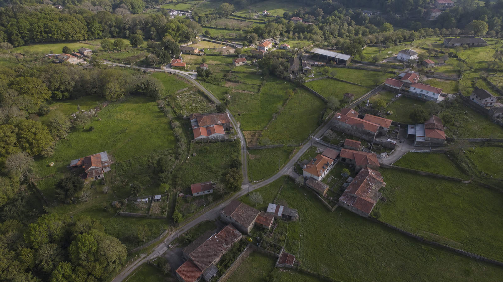
UrbexScanner has begun downloading recent aerial imagery for a new investigation in Portugal. The first research area spans 15 mainland districts: Viana do Castelo, Braga and Porto; Vila Real and Bragança; Aveiro, Viseu, Guarda, Coimbra and Castelo Branco; Leiria and Santarém; Portalegre, Évora and Setúbal. This is an exploratory dataset, not a published list of abandoned places.
Why these regions?
The selection deliberately crosses several kinds of landscape and settlement. The greener, densely settled northwest lets us test detection among small plots, stone buildings and scattered development. Trás-os-Montes and the central interior add mountain villages, farms and lower-density terrain. The central coast and Tagus corridor bring industrial, agricultural and peri-urban patterns, while Portalegre and Évora extend the test into the drier, more open Alentejo landscape. Setúbal adds another mix of urban edge, industry and countryside.
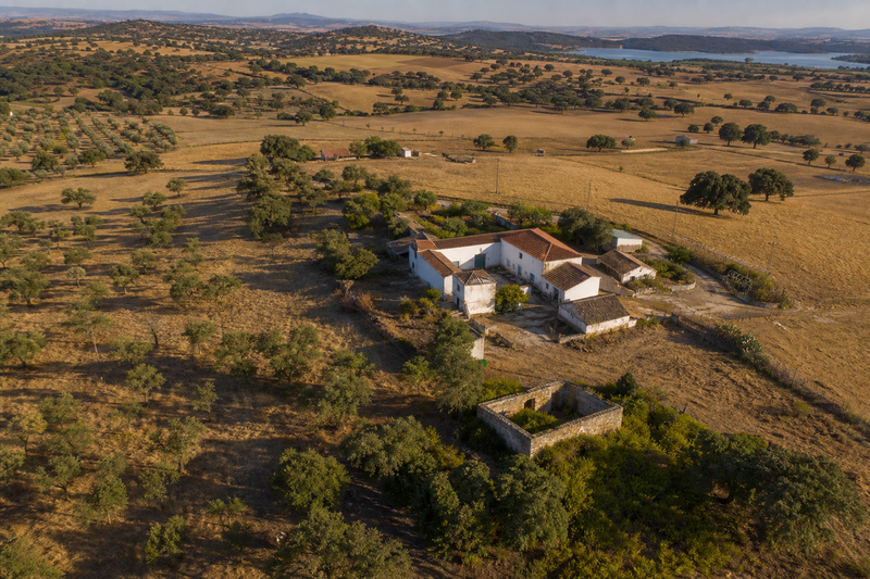
Illustrative editorial image of Portugal’s interior, generated for this project; it does not identify a investigated location.
What happens after downloading?
The orthophoto tiles are downloaded at zoom level 19, assembled into mosaics and screened for visual signals worth human review. Comparing such different districts helps us measure false positives caused by roof materials, vegetation, shadows and regional building styles before any broader Portuguese rollout.
Research, privacy and safety
Aerial appearance alone cannot prove that a building is abandoned. Every candidate requires human verification, and occupied, maintained or uncertain sites must be rejected. UrbexScanner does not publish private coordinates or access instructions and never treats imagery as permission to enter a property.