UrbexScanner now detects and evaluates individual buildings
Numbered building footprints add a second, building-level review to every selected mosaic.
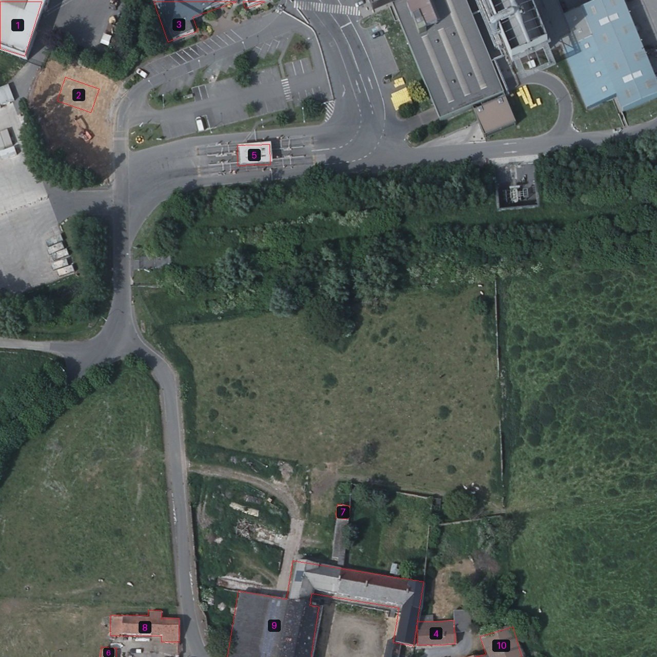
A single orthophoto mosaic can contain a warehouse, a farmhouse, several outbuildings and an active neighboring site. Treating all of them as one candidate hides that difference. UrbexScanner now detects visible building footprints and marks every building as a numbered region of interest.
From site scan to individual buildings
The first analysis still evaluates the complete mosaic. The new inspection then reviews every numbered building independently. Roof damage, missing sections, weathering and roof vegetation must come from the building footprint itself. A visibly associated garden, yard or driveway may provide supporting context, even when it extends beyond the outline.
The model also classifies the wider site—such as an industrial complex, farm complex or residence—and searches for significant ruins or structures missing from the footprint data. Maintained access, vehicles and active loading count as counter-evidence.
What the image shows
The mosaic below demonstrates the method on a mixed site. Thin red outlines preserve the underlying imagery, while numbered labels let the analysis refer to one building without transferring evidence from a neighbor.
The scores are visual research signals, not proof of abandonment. Human review remains essential, and UrbexScanner does not publish coordinates or access instructions.